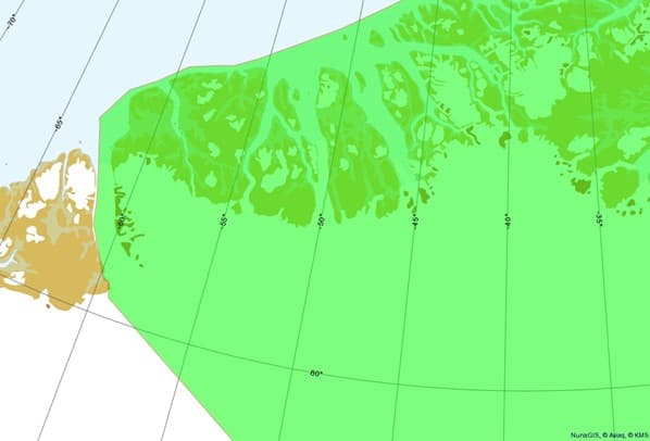
National Park boundaries
See map showing the Northeast Greenland National Park boundary and its 3-nautical-mile maritime zone.
(All land and sea areas within these limits require a permit under the Park regulations.)
Short cuts
Map 1
Map 1: Overview Greenland North-East National Park
The North-East Greenland National Park is delimited by the following borders:
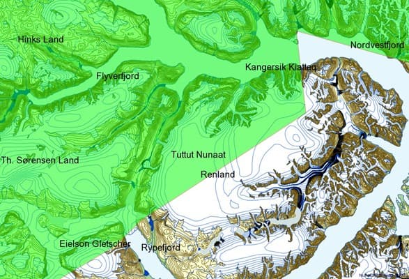
a) The Southern borders of the National Park is determined as a line from Cape Biot (headland north of the Fleming Fjord about 10 km south of 72°N), westward through the ridge (see map 2) and then along the east side of Stauning Alps and along the north side of the lakes Holger Danske's Glasses, westward to Storm Ornaments on the North Coast of North Inlet (see map 3), from here following the north shore of Northwest Fjord until Mågetuen island, far across the bay and across Renland the glacier north of Rypefjord (see map 4) and then south on nunatakker to ice at 71 ° N (see maps 2 - 5 for details
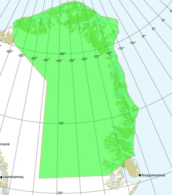
Map 2
Map 2: South-East borders
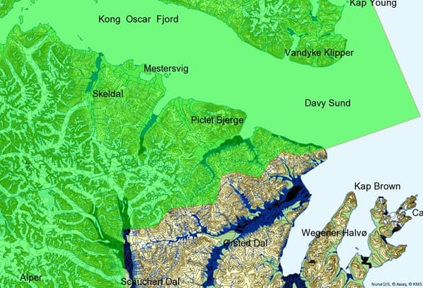
Map 3
Map 3: Stauning Alps border line
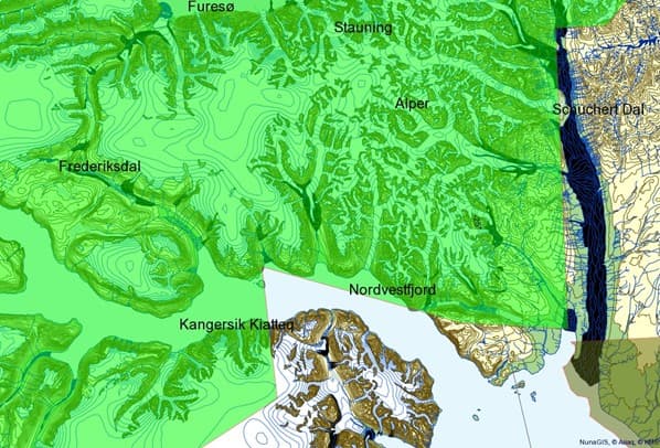
Map 4
Map 4: Northwest Fjord, Renland and Rypefjord borders
Map 5
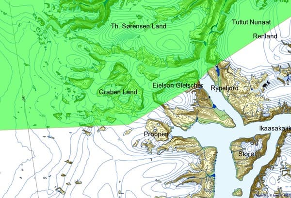
Map 5: National Park borders from Rypefjord South towards 71˚N latitude
b) From the South border at 71°N, the border continues over the inland ice to the position 71°N 44°W, and from there northwards to 78°N 44°W (see map 1) and from there to the Petermann Glacier in North-West Greenland.
Map 6
Map 6: North-West borders including Petermann Glacier
c) The national Park also includes the adjoining sea territory (up to 3 Nautical miles, from the baseline) of the above-described area.